Welcome to USP Digital Urban - Python GIS
This lesson is a quick introductory tour that aims to demonstrate how to use Python programming language for automating common GIS tasks. The examples that you will see are based on teaching materials from Geo-Python and Automating GIS processes -courses that are introductory courses (5 credits) to Python programming and using Python for GIS. Those courses are altogether 14 weeks, so during this 3 hour lesson we will only touch the surface of what can be done with programming and why is it useful to know how to program.
Learning goals
- Understand why it is good to know at least the basics of programming
- Know some of the basic concepts in programming (e.g. variables, loops, conditional statements)
- Know how programming can be used to do GIS and spatial analysis (read/write spatial data)
- Know where to look for more information and start learning yourself
Topics
The materials that we touch upon today are divided into following themes:
If you are eager to learn more, there are more materials (with videos) available from Geo-Python and Automating GIS processes -course sites.
If you want to have access to the cloud computing environment where you can really easily start to test all the Python GIS examples you have seen (all necessary softwares are readily installed), please contact Henrikki (see here).
Exercise
The exercise for this week is a short and fun introduction to Python programming using easy to use online learning environment provided by DataCamp. You need to register yourself to DataCamp (sign up easily e.g. with email or Facebook) and start a Track Intro to Python for Data Science.
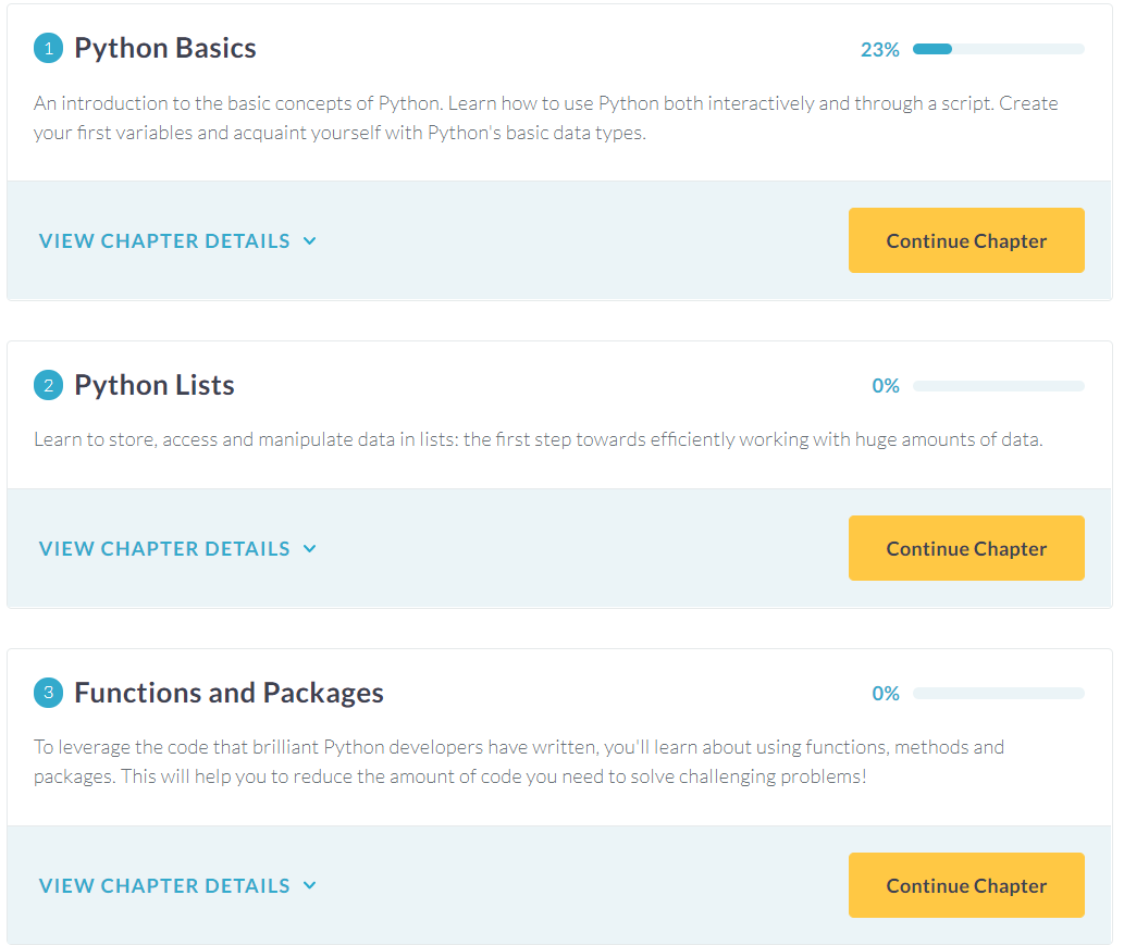
From the Intro to Python for Data Science -track you should finish the first 3 chapters (i.e. do the exercises):
- Python basics
- Python lists
- Functions and Packages
Going through these chapters should take approximately 3 hours. Once you have finished those chapters, you should send me (via email) a screenshot showing that you have finished those exercises, such as the one below: